


How Drone Crop Health Monitoring Helps Central Texas Farms
Spotting Field Problems Before They Spread
Across the farms and ranches around Austin and Central Texas, a single patch of stressed plants can quietly turn into a season-long setback if no one catches it in time.
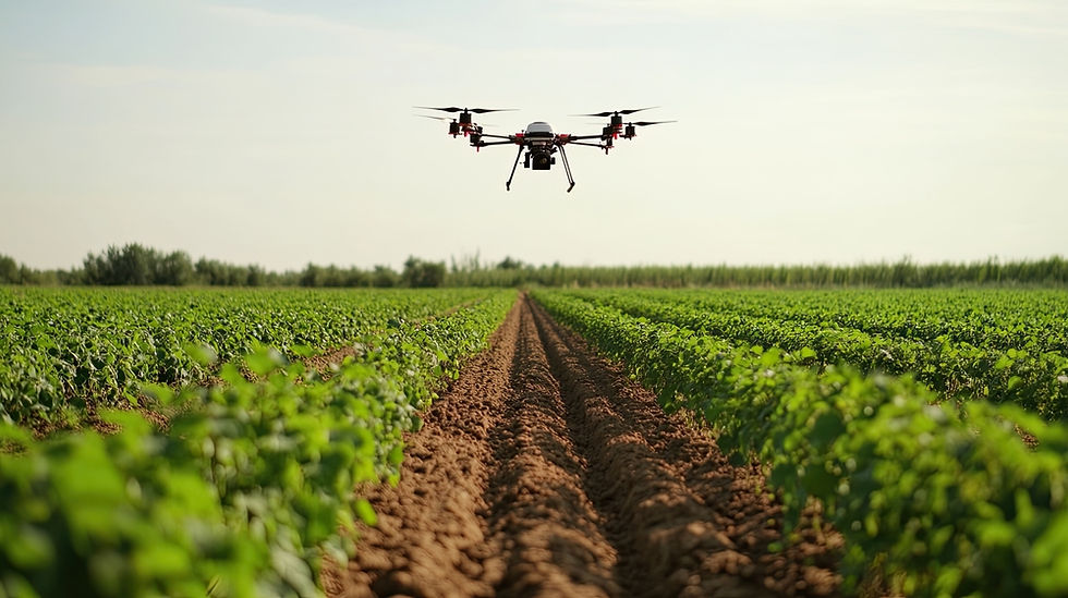
Crop health monitoring gives growers a way to see those early warning signs from above, well before they become obvious from the cab of a tractor or a walk down a few rows. Using an agriculture drone fitted with specialized cameras and sensors, Violet Crown Aerial captures detailed aerial views of your fields so you can make decisions based on what is actually happening in the crop, not a rough guess.
The idea is simple. A drone covers ground faster than a person ever could, and it sees patterns that are hard to notice at eye level. That combination of speed and perspective is what makes aerial data so useful for anyone managing acreage in the region.
What Crop Health Monitoring Shows You From Above
Ground-level scouting is valuable, but it only shows you where you are standing. Aerial crop health monitoring fills in the rest of the picture across the whole field. With high-resolution aerial photography and multispectral sensors, our drones help you see:
Variation in plant vigor, so you can tell which sections of a field are thriving and which are lagging behind.
Irrigation coverage and moisture patterns, which can reveal dry spots, drainage issues, or equipment that is not delivering water evenly.
Uneven growth and emergence, giving you an early read on how a planting is developing across different soil types or elevations.
Problem zones worth a closer look, so your scouting time goes where it matters instead of covering every acre by foot.
The point is to turn a large, hard-to-monitor property into something you can review section by section, then follow up on the ground only where the data tells you to.
Catching Crop Stress, Disease, and Pests Early
The real value of crop health monitoring shows up when it helps you act before a problem takes hold. Small issues are far easier and cheaper to manage than widespread ones, and drones make those small issues visible sooner. Regular flights help Central Texas growers stay ahead in a few key ways:
Monitor crop maturity so you can time harvest when the crop is at its peak, protecting both yield and quality.
Detect disease early by flagging areas that look off, letting you target treatment to a specific zone instead of the entire field.
Track pest activity across the property so you can respond quickly and limit the damage before it spreads.
Being proactive rather than reactive is the whole goal. When you know where trouble is starting, you can direct your labor, water, and inputs to the places that need them and leave the healthy acres alone.
More Than Pictures: Drone Survey and Mapping Data
Crop health monitoring is often the starting point, not the finish line. The same flights can produce mapping and survey outputs that support planning across the whole operation. Depending on your goals, an agricultural drone flight can deliver:
Aerial imagery for a clear record of field conditions on a given date.
A drone survey of your land to help you understand terrain, layout, and property features.
3D drone mapping and elevation data that supports drainage planning, land development decisions, and site analysis.
Because the data is collected from the air, you get a consistent, repeatable view of large properties without spending days on manual measurement. Over a season, that record also lets you compare how conditions change from one flight to the next.
Why Central Texas Farms Partner With Violet Crown Aerial
Reliable field data depends on more than owning a drone. It takes trained operators who understand both the equipment and the ground they are flying over. Violet Crown Aerial is locally owned and operated in Austin, and our flights are conducted by FAA Part 107 certified pilots who plan every mission around safe, efficient operation.
We work closely with farmers, ranchers, and agricultural landowners to capture the aerial data that supports smarter decisions on irrigation, fertilization, pest management, and harvest timing. Our focus is on collecting accurate information you can actually use, then delivering it in formats that fit how you run your operation.
If crop health monitoring is on your radar for the coming season, reach out to Violet Crown Aerial and let us help you keep your fields productive.


Comments