

Drone Mapping for Austin Land Development: Why Surveyors Rely on Drones
- Martin Holmes
- Feb 5
- 3 min read

How Drone Mapping Helps Land Surveyors in Travis & Williamson Counties
Austin is growing at an unprecedented rate. From the bustling residential subdivisions of Pflugerville and Round Rock to the expanding commercial zones near the Domain, the demand for rapid, accurate land data is higher than ever. For a modern land surveyor, traditional ground methods often can't keep pace with the sheer volume of land development projects across Travis and Williamson Counties.
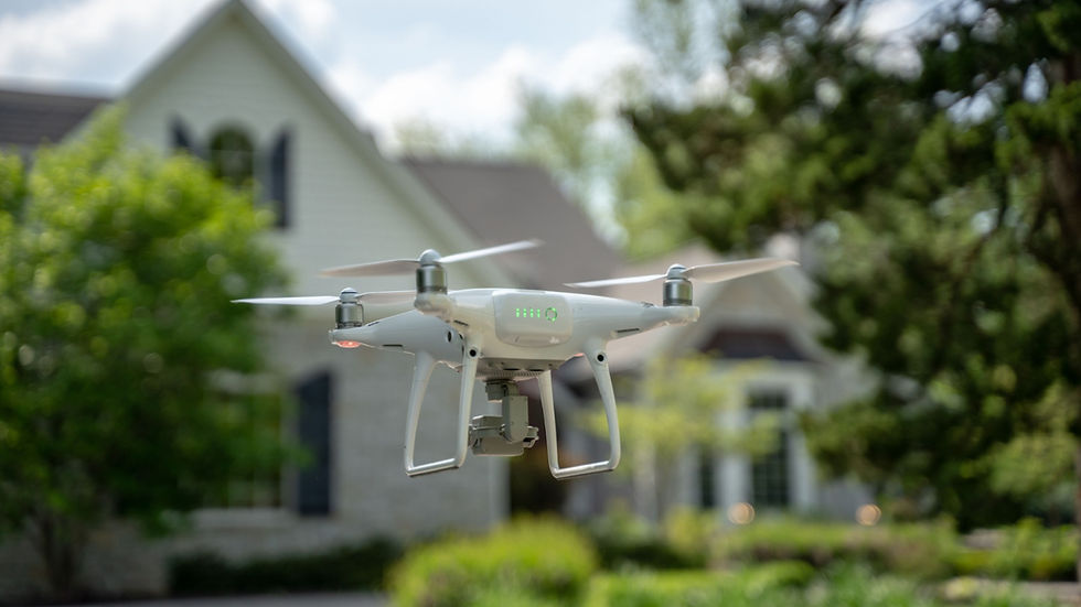
This is where Violet Crown Aerial steps in. By leveraging advanced aerial drone surveying technology, we provide innovative solutions that help professionals in construction, real estate, and urban planning work smarter. Here is why industry experts are increasingly relying on drone mapping to streamline their workflows and capture data that ground crews simply can't reach.
Aerial Mapping: The Bird’s-Eye Advantage
The first step in any major project is understanding the terrain. Drone mapping offers a high-resolution bird’s-eye view of large sites, making it an essential tool for initial site reconnaissance.
Instead of spending days on foot, a drone surveyor can capture detailed data over undeveloped land or active construction zones in a fraction of the time. In the Austin area, this technology is widely used to photograph residential subdivision sites in Pflugerville or assess commercial development plots near the Domain, providing valuable insights for early decision-making.
Highlights of Aerial Mapping:
Faster data collection compared to traditional methods
High-resolution imagery for detailed site analysis
Cost-effective for large or inaccessible areas
Digital Mapping: From Images to Data
While a photograph is useful, actionable data is essential. Drone surveying allows professionals to turn high-resolution aerial images into accurate 2D maps and GIS layers.
This form of drone mapping services is crucial for identifying property boundaries, topography contours, and utility placements. For mixed-use developments in areas like Mueller, digital mapping bridges the gap between raw visuals and engineering reality. It allows land surveyors and teams to overlay current site conditions with planned designs, ensuring that every square foot of the land development project is accounted for.
Uses of Digital Mapping:
Translates images into measurable 2D maps and GIS data
Precisely identifies property lines, contours, and utility locations
Enables comparison of existing site conditions with proposed designs
3D Drone Mapping: Engineering-Grade Precision
For complex projects requiring detailed analysis, standard 2D imagery falls short. This is where 3D drone mapping shines. By converting aerial images into 3D models, point clouds, and digital elevation models (DEM), surveyors gain access to engineering-grade measurements necessary for grading, volumetric analysis, and construction planning.
We see 3D drone mapping utilized frequently for:
Construction: Conducting topographic surveys for new subdivisions in the hilly terrain of Circle C Ranch or managing road expansions along Loop 360.
Environmental Studies: Monitoring erosion or flood risks for sensitive areas like Barton Creek or Lady Bird Lake.
Urban Planning: Creating 3D models for park expansions, trail development, and infrastructure planning throughout Austin in Travis and Williamson Counties.
Key Takeaways
The landscape of surveying is changing in Austin and beyond. While ground surveying remains essential, advanced drone surveying technology offers unprecedented time and resource savings.
Drone mapping reduces the need for manual surveys in Austin’s fast-growing and often hilly terrain.
3D drone mapping provides precise, actionable data that goes beyond photos, essential for a land surveyor, engineer, planner, or developer.
Surveyors can quickly capture large sites, detect potential issues, and share visual data with stakeholders.
Austin’s Trusted Provider for Drone Mapping & Survey Support
Whether you need drone mapping services for a logistics project in Round Rock or a topographic survey in Travis County, Violet Crown Aerial is the most experienced drone company in Austin with the capabilities to handle projects of any scale.
Benefits of partnering with Violet Crown Aerial
Quick turnaround times with precise drone mapping.
Improved safety by reducing the need for manual surveys.
Seamless data sharing for better collaboration with stakeholders.
If you're a land surveyor, developer, or construction professional, count on our professional drone surveyor team to capture your large project sites, detect potential issues early, and equip you with vital visual data for your stakeholders.


Comments