


How Ground Control Points Improve Drone Mapping Precision in Central Texas

What Are Ground Control Points?
When accuracy matters and aerial data needs to be more than just visually impressive, ground control points become essential. A ground control point (GCP) is a precisely surveyed marker placed on the ground before a drone survey is flown. These physical reference points are captured in the aerial imagery and then matched to their real-world GPS coordinates during post-processing.
The result? Drone 3D mapping data that aligns with actual geographic coordinates, not just a close estimate. For construction teams managing site progress in Austin, TX, or real estate developers planning large-scale projects across Travis County, that precision can make or break a project.
Why Ground Control Points Matter for Mapping Accuracy
Standard GPS-equipped drones are capable of impressive things, but even the best onboard GPS systems carry positional errors that can range from several centimeters to over a meter. In industries where a few inches matter, like foundation layouts, elevation models, or land boundary assessments, that margin of error isn't acceptable.
Ground control points correct this by anchoring the drone's data to verified real-world locations. During aerial photogrammetry processing, the software uses GCPs to warp and align the imagery with exceptional accuracy, significantly reducing positional drift.
Reduced Horizontal Error: GCPs can reduce horizontal positional error from several meters down to just 1–3 centimeters
Improved Vertical Accuracy: Elevation data becomes far more reliable, which is critical for volumetric calculations and grading plans
Stronger Georeferencing: Each image in the dataset is tied to a validated coordinate, creating spatial consistency and accurate georeferencing in the final product.
Better Deliverables: Orthomosaics, point clouds, and digital elevation models (DEMs) all benefit from tighter GCP integration
For Austin-area construction and real estate projects, these improvements translate directly into fewer costly mistakes and more confident decision-making.
How Ground Control Points Are Used in UAV Mapping Workflows
The process of integrating ground control points into a drone mapping service workflow is methodical but straightforward when handled by experienced operators.
Site Survey and GCP Placement: Targets (typically large, high-contrast markers) are distributed evenly across the survey area, usually a minimum of five, with more added for larger sites
GPS Coordinate Collection: Each GCP is measured using a high-accuracy GPS receiver or a real-time kinematic (RTK) unit to capture its precise location
Drone Flight and Image Capture: The UAV mapping flight is conducted at a planned altitude and overlap percentage to ensure full coverage
Photogrammetry Processing: Aerial photogrammetry software matches each GCP in the imagery to its known coordinates, recalibrating the model for accuracy
Accuracy Validation: Checkpoints (separate from GCPs) are used to verify the final model's real-world accuracy before delivery
Key Considerations for GCP Integration
Consistent Placement Matters: Poorly distributed GCPs can still leave edge areas with reduced accuracy
More GCPs = More Control: Larger or complex terrain sites benefit from a higher density of reference points
RTK vs. Traditional GPS: RTK-enabled collection dramatically speeds up the GCP process without sacrificing precision
Violet Crown Aerial follows a rigorous workflow to ensure every drone 3D mapping project delivered in Austin and Central Texas meets professional accuracy standards.
Applications of Precise Drone Mapping Across Key Industries
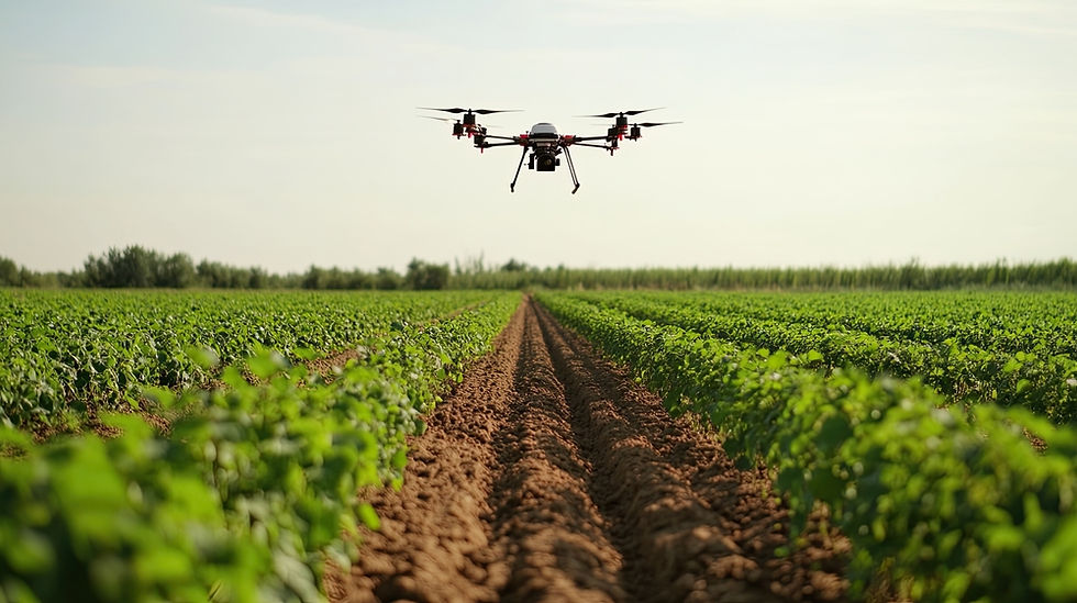
Accurate drone mapping, powered by ground control points, isn't just a technical achievement; it's essential for industries across Central Texas. From conducting a precise construction drone survey to offering reliable aerial photogrammetry services for agricultural land, the applications are vast. This technology also provides dependable 3D drone mapping needed for urban planning to effectively model terrain changes over time, proving its value in real-world scenarios.
Construction: Site progress tracking, volumetric analysis, grading plans
Real Estate: Land surveys, development site assessments, aerial marketing content
Agriculture: Crop health monitoring, drainage planning, field mapping
Infrastructure: Corridor mapping, inspection documentation, asset management
Urban Planning: Terrain modeling, zoning support, environmental studies
Why Austin Industries Trust Violet Crown Aerial
Violet Crown Aerial brings a level of expertise and professionalism to drone mapping services in Austin, TX, that sets it apart from the competition.
What makes Violet Crown Aerial a smart choice for aerial photogrammetry services in Central Texas?
Fully Licensed and Insured: The team holds an FAA Part 107 Unmanned Aerial Vehicle License and meets full insurance requirements, including a $50K policy, ensuring the credibility and accountability that serious projects demand.
Vast Industry Experience: The team brings deep hands-on expertise across construction, real estate, agriculture, energy, and more
Innovative Approach: Creative, adaptive thinking and the use of tools like ground control points mean better data capture, even on complex or unconventional job sites.
Fast Turnaround and Communication: Time-sensitive projects get the attention they deserve, without the delays common elsewhere
Get More Accurate Drone Mapping Data for Your Next Austin Project
Precision matters, and ground control points are one of the most effective tools available to make sure your drone mapping data holds up under scrutiny. From construction sites in Travis County to agricultural land in Williamson County, Violet Crown Aerial provides aerial photogrammetry services built on rigorous methodology and local expertise.
Whether your project is based in Austin or nearby areas, Violet Crown Aerial delivers consistent, reliable results across Central Texas. Contact us today to start your project!

Comments